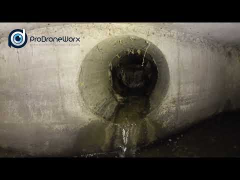
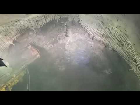
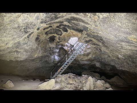
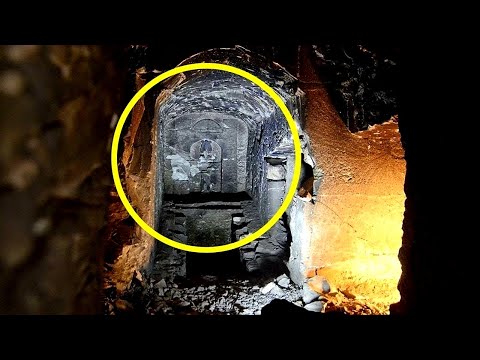
ProDroneWorx carried out a visual inspection and survey of a culvert using a confined space drone combined with 3D digital data from a terrestrial laser scanner.
We provided our client with detailed HD images/video on the condition of the structure plus a colourised 3D point cloud tied to the OS grid. This allows the digital data to be tied to other datasets e.g. an above ground 3D model or point cloud.